The maps listed below cover Ordnance Survey and British Geological Survey publications.
Ordnance Survey Maps:
 |
OS Explorer map 373. Iona, Staffa and Ross of Mull. Scale: 1:25000. Double sided, very full of detail. |
 |
OS Explorer map 374. Isle of Mull North and Tobermory: Scale: 1:25000. Double sided |
 |
OS Explorer map 375. Isle of Mull East. Scale: 1:25000. Double sided |
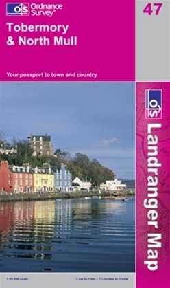 |
OS Landranger map 47. Tobermory and North Mull Scale: 1:50,000. |
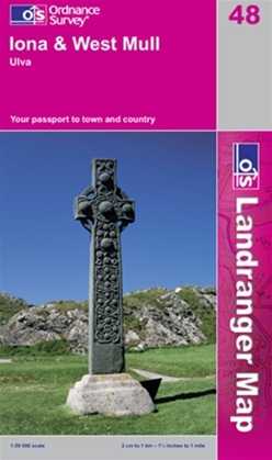 |
OS Landranger map 48. Iona and West Mull Scale: 1:50,000. |
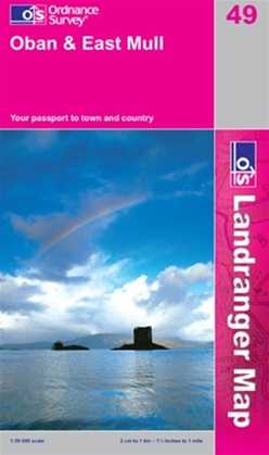 |
OS Landranger map 49. Oban and East Mull Scale: 1:50,000. |
The web based service www.streetmap.co.uk will give you maps at a variety of scales for anywhere in the British Isles. Just type in a location and go. Very handy
Google Maps is also very useful. - Streetview will show you what the landscape looks like (from the main roads anyway) and the Satellite view is very useful for picking out geomorphological feature. For a Mull centred Google Map, click here.
Geological Maps (BGS)
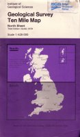 |
BGS Map "Ten Mile Map" Northern part. Scotland Northern Ireland and part of England. Scale is 1:625,000. Gives a good overall view of the geology and how Mull fits in with other similar localities. |
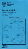 |
BGS Map Eastern Mull. Sheet 44 (W) and part of Sheet 44 (E). Solid geology. Scale 1:50,000. Extremely detailed - a real work of art. Shows the amazing complexity of the geology of Mull. |
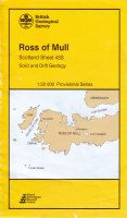 |
BGS Map Ross of Mull and Iona. Sheet 43 (S) Solid and Drift. Scale 1:50,000. |
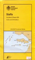 |
BGS Map Staffa. Sheet 43 (N) Solid and Drift. Scale 1:50,000. Note - there is a lot of empty sea on this map! |
 |
BGS Map Caliach Point.Sheet 51 East Scale 1:50,000. Solid and Drift. Covers NW Mull. |
|
|
BGS Map Ardnamurchan, Sheet 52 (W) Mainly Ardnamurchan but covers a small part of North Mull |
BGS Maps: www.bgs.ac.uk
Note: The BGS has a Map Portal where geological maps can be viewed. There are also links to the BGS shop where they can be purchased.
Mull Maps on the BGS Site:
Eastern Mull (1992)
Ross of Mull and Iona (1999)
Staffa (1996)
Ardnamurchan and North Mull (latest edition) (2010)
Lismore (has a part of Eastern Mull and also Morvern) (1992)
Caliach Point (1977)
Ardnamurchan Contains part of North Mull (1977)
Note: maps can be viewed online but cannot be downloaded.